Agar Firdous Bar Roie Zameem Ast
Hamain Asto, Hamain Asto, Hamain Ast
Kashmir , a place on earth known for its heavenly beauty. Located in between the Himalayas, this beautiful place offers verdant mountains, lush green forests and religious shrines. Kashmir for sure is the best place to visit and whatever your reason for visiting J&K whether it is t enjoy the beauty or test your limits while adventuring.
Well today we are taking you to a much unexplored trek for which I have given a name “ Exploring The Unexplored”
"Exploring The Unexplored"
This particular trek starts from a village known as Sangerwani located in district Pulwama(Jammu and Kashmir) and can be accessed by a Vehicle.
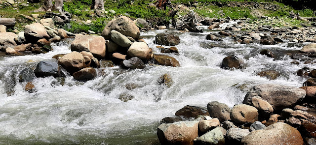
From here a trail accompanied by the famous Romush- i- Nallah which leads to place known as Kendpathri.
Kendpathri: It is a beautiful Small village inhabited by Gujjar and Bakerwals particularly in summers.
Nallah e Romush From Kendpathri proceed towards another place known as Andrwali
Anderwali: This is also one of the most beautiful area,inhabited by some local Gujjars and Bakerwals@ on scattered points.
From Anderwali to Kahrout :-
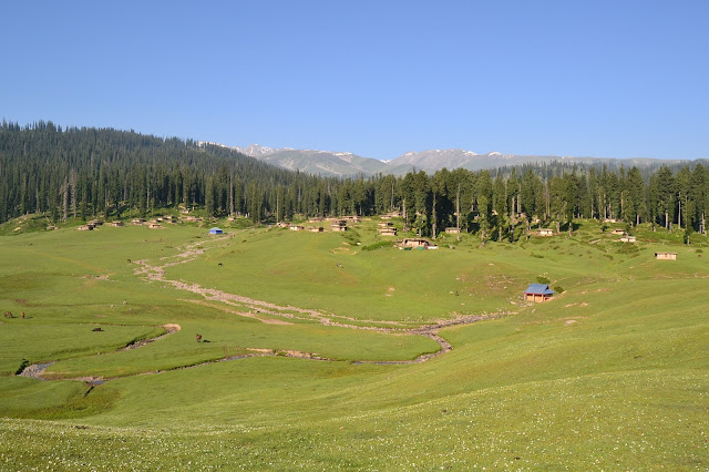
Kahrout: it's an alpine meadow locally known as Kahrout. At an altitude of about 2800m ASL, you realise your dream by finding yourself surrounded by the mighty Pir Panjal ranges on one side and dense pine trees on the other side along with the soothing sounds of water flowing through the nearby Romshi Nallah. Velvety grasslands and enchanting surroundings of the pir panjal mountains make trekking in Kashmir’s this part a delightful experience.
Satellite view of the trek
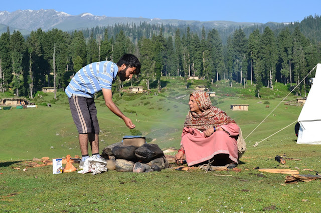
Some of the pics from Kahrout :
Shidakh can be reached via kahrout by taking a steep hike for almost one and half hour. At an altitude of about 3400m ASL It might be the highest point in the area and and most of the valley parts are visible from here, provided the visibility is clear enough. Here is also one of the famous shrines of Saint Janbaz Wali Baghdadi R.A at the top of the meadow, where the local devotees can be seen.
Satellite view of the trek
Some of the pics from Shidakh :
Shidakh to Sangam:
From Shidakh proceed towards Sangam. Sangam has got its name as it's the meeting point of two tributaries of Nallah Romush. Sangam is just located at the downhill of Shidakh. Satellite view of the trek
Sangam to Gagadraiel:
Gagadraiel is situated at an altitude of about 3100m ASL, is one of the fascinated meadow. This meadow is particularly used by the shepherds for grazing their cattle.
Gagadraiel to Bargah:
Bargah stationed at an altitude of 3300m ASL lies within district Budgam. This meadow is also one of the outstanding Unexplored meadow used for grazing purposes by the local shepherds.
View of Nakdi Pal from Bargah
Danzab one of the most beautiful meadows amongst of all these meadows. It lies at an altitude of about 3,500m ASL. One of the the famous points of attraction here is Nakdi Pal. Nakdi Pal is a big rock stationed at the edge of this meadow. From Nakdi Pal almost every district of the valley is visible. From here one can also have the glimpse of most famous sunset peak. One can also observe planes landing and taking off from the famous Sheikh Ul Aalam International Airport Srinagar.
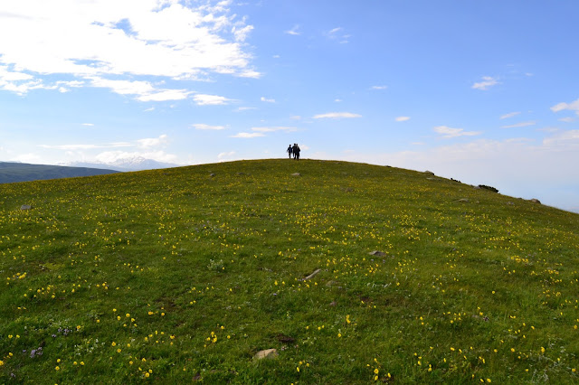
More pics from the trek :


0 Comments